SNR Drones
Next-Level sUAV Solutions
Our Services
Aerial Photo & Video Capture
Cinematic 4K footage for marketing, events, and inspections.
Precision Mapping & Surveying
High-resolution imagery and 3D models for land, construction, and agriculture.
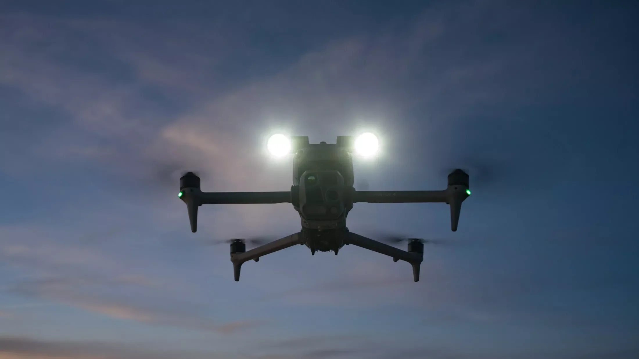
Search and Rescue
Using high resolution video and thermal imaging search and rescue operations become more affordable and effective. Whether searching for a missing person, a pet or an item
FAA Part 107 Certified Pilots
Certified via FAA’s part 107 allows our UAV pilots to fly commercially.
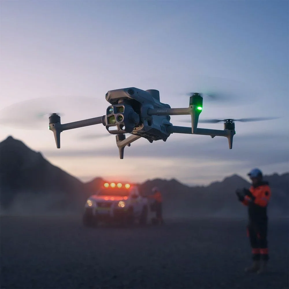
Law Enforcement Support
Suspect searches, perimeter monitoring, subject tracking and many other LEO support services.
Enterprise Integration Consulting
End-to-end guidance on deploying UAV solutions at scale.
Hunting and Agriculture
Downed animal recovery, hunting lease animal survey, farm field surveys, vegetation surveys, etc.
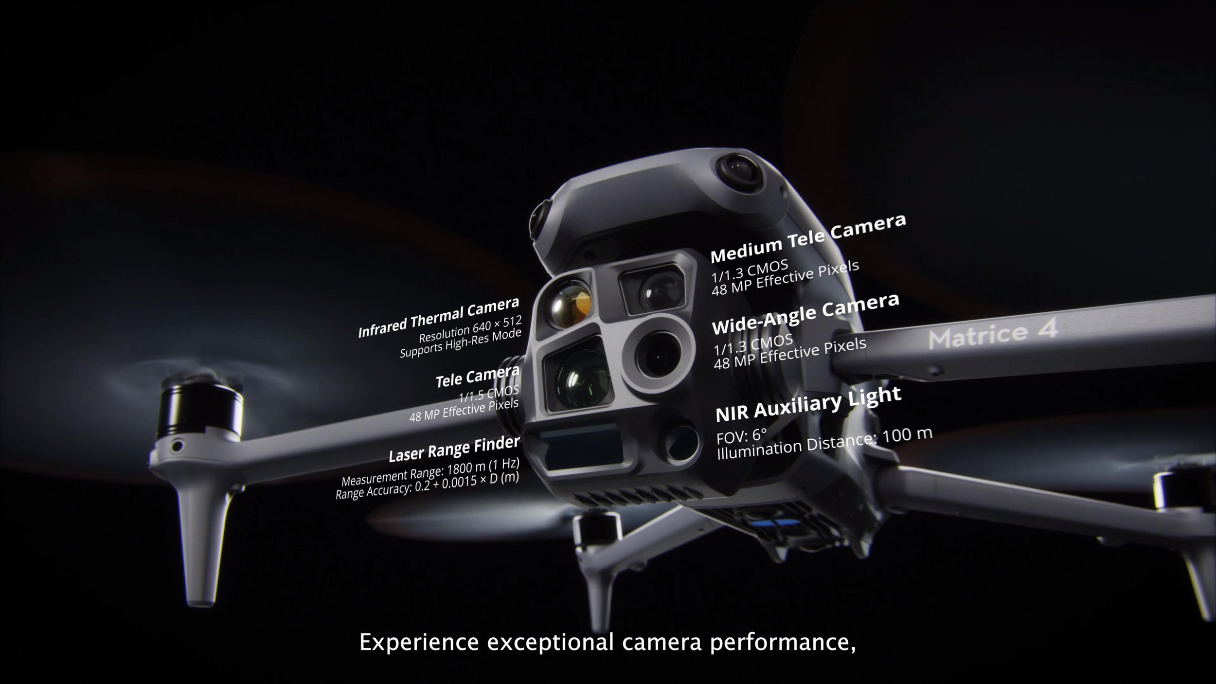
Industry and Power line inspections
From roads and bridges to cellular towers to power lines inspections and surveys can be done cheaper with SNR Drones.